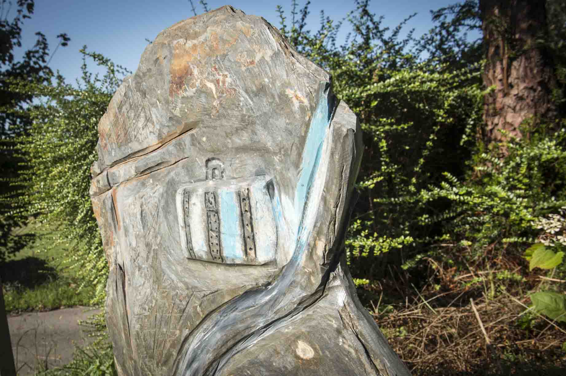
Roteiro Avelino Diaz
Roteiro Avelino Diaz
Route carried out by the journalist and cultural activist Avelino Díaz (A Órrea, 1897 – Buenos Aires, 1971) from his birthplace (A Travesa – A Órrea) to Meira, passing through what was his home in the place A Pena, already in Meira. Although the route is easier from Meira, Avelino’s original route, it is described below to go to the fair, starting from the Church of Órrea.


Route description
This ROTEIRO begins in the parish of Órrea, in front of the birthplace of the poet Avelino Díaz, at an altitude of about 400 m. above sea level, traveling a centennial path that Mirandeses and Mirandesas followed every fortnight to sell and buy at the Meira fair. The first 700 m. they pass through flat terrain, crossing the houses of Travesa and the Mourín river (called Río de la Órrea or Xudán on some maps), a tributary of the Eo. Upon reaching PENA DE LA ABELLEIRA, the hiker begins a gentle ascent of about 1,500 m. through the hills of Formigueiro (along the Costa de Candedo), where tradition, personified in the oak groves, and “modernity”, reflected in the pines and eucalyptus trees, mix. Upon reaching FONTE DA PASCUA, at an altitude of 530 m, the slope relaxes again so that the hiker can contemplate and enjoy the charm of a rustic nature, passing through the FONTES DA CABANA, REGA DO FRANCÉS and REGA DA GADELLA, beginning another gentle climb that will take you to the top of XUNCÁS (650 m altitude). From there, you will be able to see the slopes that close the Gran Chaira Luguesa, then also beginning a gentle descent through the towns of LEIRAS, VAL DA CAL, PAREDES and A PENA … In this last place Avelino spent part of his childhood and youth and from there you can see the ancient, historical and monumental Cistercian town of Meira, ending this walk in the splendid Plaza del Convento, in front of the church and the Town Hall.
Route information
Route information
Distance: 10km.
Duration: 3h.
Difficulty: medium-low
Well signposted route in both directions by means of beacons and arrows.
Minimum altitude: 350 meters above sea level.
Maximum altitude: 600msnm.
Route type: linear
Accessible by foot, bicycle and horse.
Access
From the N-640, at KM 50 turn right onto LU-P-5505 towards Órrea and Igrexa. At 50m. On the right hand side the route begins (next to the school / parochial social premises).
From Meira, on the CP-3003 (next to the Meira church). When crossing the bridge over the river Miño, the route begins on the left.


